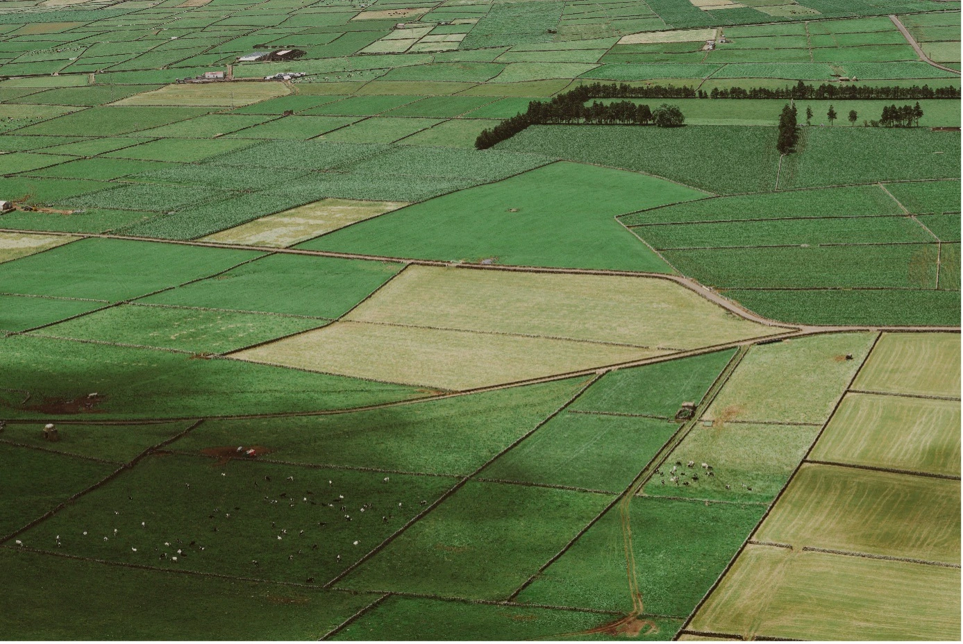
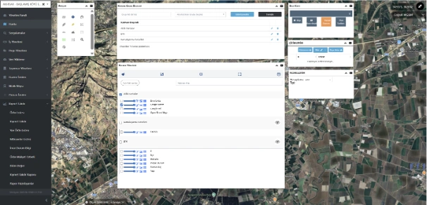
Map and GIS Analytics Interface
Parcels, valuation records, and spatial layers are visualized, queried, and analyzed directly on the map. Provides layer management, parcel-based queries, price-range filtering, heat map generation, and spatial tracking of value increase trends. Supports automatic data retrieval via TAKBIS integration where available, and manual data entry where integration is not present.
Product and Unit Value Definition Interface
Product types forming the basis of land and agricultural asset valuation, cultivation period (annual/perennial), irrigation status, and regional classifications are defined and managed within the system. Province- and district-based value sets ensure standardized and consistent valuation calculations.
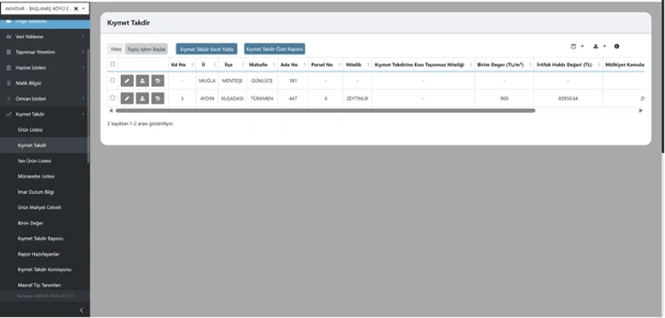
Parcel-Based Valuation Management Interface
Valuation records are centrally managed based on parcel, block, neighborhood, district, and property attributes. Unit values, easement compensation amounts, and expropriation calculations are displayed within the system; bulk operations, Excel data import, and summary report generation are supported.
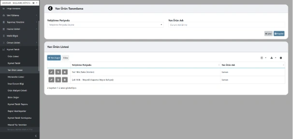
Secondary Product Definition and Management
Secondary products considered in land and orchard valuations are defined according to cultivation periods and integrated into valuation calculations. Defined items are centrally managed in a list-based structure and can be updated dynamically.
Crop Rotation Management
Region- and district-based crop rotation data is defined and incorporated into agricultural valuation calculations. Rotation records are managed in a structured list format and can be updated and integrated into valuation scenarios.
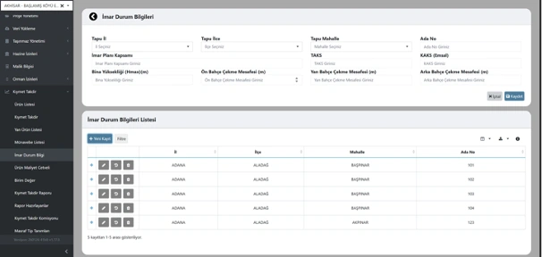
Zoning and Development Parameters Management
Zoning parameters such as building coverage ratio (TAKS), floor area ratio (KAKS), building height, and setback distances are defined and stored on a parcel basis along with title deed information. These parameters are integrated into valuation calculations to assess development potential accurately and in compliance with regulations.
Agricultural Cost Table Management
Annual cost data is defined by province, district, crop type, cultivation period, and irrigation status, and can be uploaded in bulk. These cost parameters are directly integrated into land and agricultural valuation calculations.
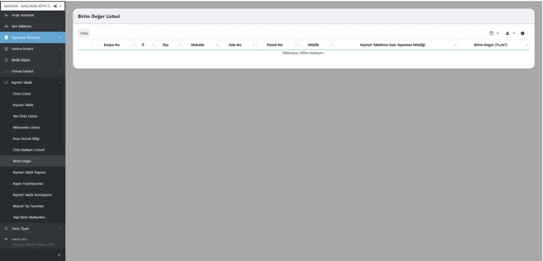
Unit Value Management
Unit m² values are defined and managed based on parcel, property type, and valuation criteria. These values serve as the core reference for all land and property valuation calculations within the system.
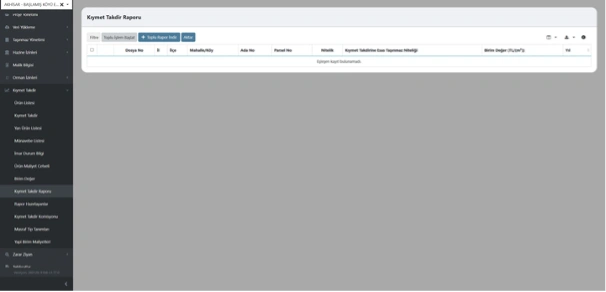
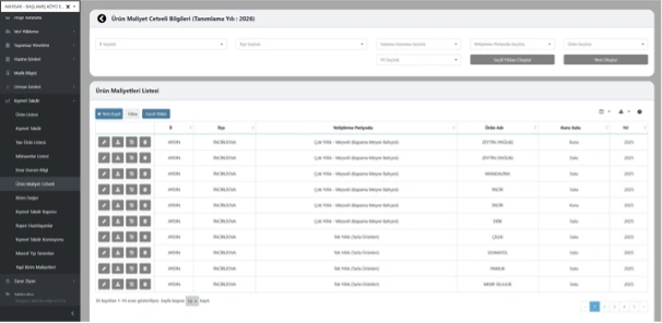
Valuation Reporting and Output Management
Created valuation records are listed based on file, parcel, and property details; bulk report export and data transfer operations are managed from a single interface. The system generates standardized valuation reports quickly and in a controlled manner.
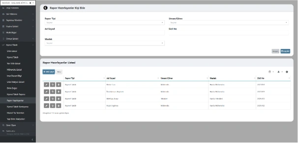
Report Author and Authorized Personnel Definition
Personnel preparing valuation reports are defined in the system with their name, title/role, profession, and registry information, and linked to related reports. Each valuation record can be tracked together with its responsible expert, supporting institutional audit and accountability processes.
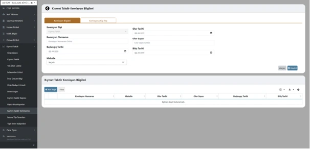
Valuation Commission Management
Commissions involved in valuation processes are defined and managed within the system, including commission type, decision number, establishment date, and term of duty. Commission decisions can be recorded by district or project basis and linked to related valuation records.
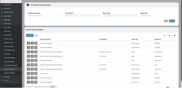
Cost Type Definition and Management
Cost items considered in valuation calculations are defined and categorized in the system based on cultivation period, establishment phase, and cost type. Each expense component is structured for product-based cost analysis and can be associated with historical data for comparative evaluation.
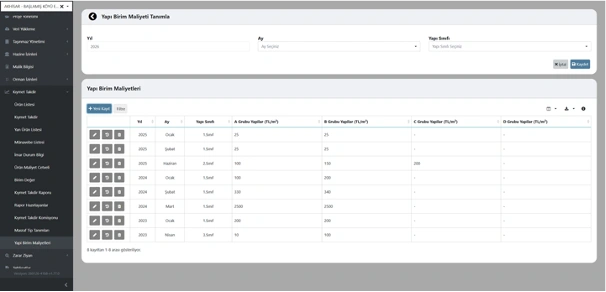
Building Unit Cost Definition
Unit cost values are defined and updated in the system based on building class, year, and month. Square meter unit costs for A, B, C, and D group structures are specified separately and used as reference data in building valuation calculations.